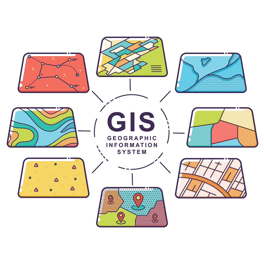
Managing environmental records is stressful enough without having to rummage through file folders or a hard drive to locate inspection records, permits, and other data about your manufacturing facilities. So why not leverage Geographic Information Systems (GIS) to visually organize your data and make it accessible from anywhere, at any time? Here are a few ideas for the data you can store about your environmental programs in GIS layers.
If you’re not yet familiar with GIS technology, first read GIS For Facilities Management Part I & Part II.
Custom GIS Layers for Environmental Recordkeeping
Potential sources of pollution
Manufacturing facilities are riddled with potential sources of air and water pollution. Mapping potential pollution sources gives you a visual representation of their whereabouts and allows you to store valuable information about the sources, such as:
- What pollutants the site may emit or discharge
- Inspection and maintenance records
- Pollution emissions estimates or measurements (air)
- Pollution discharge estimates or measurements (water)
- Permitting information (e.g., NPDES)
- Material storage locations
Stormwater management infrastructure
Implementing best management practices (BMPs) for stormwater is a critical aspect of a successful management program. You might use BMPs like regular housekeeping and keeping debris clear from drainage systems, however, some of your BMPs might be permanent structures.
Using a GIS layer to map out stormwater infrastructure such as outfall locations, retention ponds, rain gardens, and silt fences gives you an overall vision of your program — and helps point out gaps that need addressing. You can also attach documents like original drawings, maintenance records, outfall sampling records, and inspection data to each BMP you map out.
Environmental site assessment data
Environmental site assessments may be available to you, especially if the owner recently procured the property. Site assessments are rich with location-specific information, such as how the facility footprint has changed over the years, results of soil and water tests, and other areas of environmental risk. Using GIS to create a visual of ESA data will offer historical insight into the property, an essential aspect of making informed decisions in the future.
Underground storage tanks (UST)
If you have an underground storage tank (UST) on the premises, you need to monitor the container closely and prepare for releases. In fact, the EPA and state regulatory agencies require UST owners and operators to report:
- The existence of new UST systems
- Suspected releases
- UST system closures
You must also retain records of operation and maintenance.
Since USTs aren’t mobile, using a custom GIS layer is the perfect place to map the containers, illustrate potential release patterns, and store critical regulatory documentation.
Ready to get your next environmental project started? Get in touch with our environmental experts today.
Related reading: Environmental Standards, Permits, and Regulations for the Manufacturing Industry


