Implementing a GIS is a long-term commitment and should be a methodical, carefully thought-out process. If you put the work in up front, you’re sure to have a system that works for everyone involved and is fully scalable to help achieve your future goals as a facility manager. After realizing you might be a good candidate for using a GIS, you’re bound to have some lingering questions – as you should. Before you start downloading software and fervently Googling, take some time to consider the big questions still in front of you.
A good place to start is to solidify and write down the goals for your new GIS and what problems you hope for it to solve. Some examples might include –
I want my GIS to:
- Replace institutional knowledge
- Track maintenance and inspection schedules
- Alert me when equipment needs to be updated or purchased
- Keep all my networking, HVAC, and emergency route maps in one spot
The possibilities are only limited by your imagination. If your problem has anything to do with data and a location, chances are there is a GIS solution.
After tacking down your GIS goals, you are ready to move on to more specific questions that will help you straighten out the logistical side of things.
Follow the Leader
Identifying who will be spearheading your GIS project will provide a clear point of contact for questions or concerns during the implementation process. The leader should have resources available to help answer questions, facilitate training on software, and effectively communicate functionalities of the GIS.
Keeping the lines of communication open during the planning and implementation process will help eliminate kinks down the road. After implementation and use begins, your leader should consider facilitating regular meetings to straighten out any issues that arise in the first few weeks.

What should the GIS track?
You might already have an idea of what you want your GIS to lay out for you. If not, go back to your original goals and think about what kind of data could and should be utilized to achieve each goal.
Here’s an example:
Your fire extinguishers often get overlooked for inspections, so you’ve decided you’d like to track inspection due dates. In the GIS, you’ll want to map out the location of each fire extinguisher and attach a “Next Inspection Due” field to the rest of its data. This way, you will be able to click on each fire extinguisher, see when the next inspection is due, set a query to filter which ones are due for inspection soon, and even set up an email alert as a reminder.
All of your historical data can be retained, so you can track and link past inspection records.
When you’re coming up with the things you’d like your GIS to track, it’s best to discuss with everyone that will be using it. That way, the expectations for the system will be out in the open and ideas are likely to flow much easier.
What is your total area covered?

Are you looking to set up a GIS for one building, a couple, a whole campus, or multiple locations? If your initial thought is to only use it for your building(s), it might be worth a conversation with others to see if they already have a GIS set up or if they’d be interested in tying it in with yours.
Having a GIS that stays consistent across an organization is almost always preferred. That way, the system is guaranteed to scale the same way, everyone will have to learn just one system, and all historical data will be preserved consistently.
What is your total budget?

Facility budgets tend to be tight, so dollars are always a concern. There are always ways to cut down on costs: setting up the system yourself (although the upfront cost might be heftier), or if you’re on a college campus, having a student assist. You can also hire a consultant to set up the basic functionality for you as a one-off project.
Where cost-savings measures are important with any major project, be sure to carefully examine the long-term cost/benefit. You might find it is worth hiring an in-house GIS professional or contracting out the setup and data management. (Choosing between the two is a whole other can of worms. See our pros/cons of in-house vs. contractors here.) If you choose to hire someone to handle the GIS, you’ll have access to:
- Technical support
- Regular software updates and system maintenance
- Secure data management
- Training on using GIS
- Guidance on how to improve your system
How often will the data update?

To piggyback off the last question, you should think about how often you will want to update your GIS data. If it is frequently updated, you will want to consider purchasing the GIS software outright so you have constant access to the database side, or hiring someone to maintain it for you on a regular basis. The answer to this question is guaranteed to play a huge role in your hiring decisions during the implementation process and beyond.
Historical Data and Initial Setup
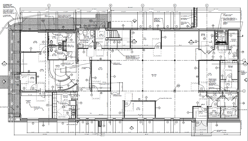
Before you begin setting up your GIS, you should collect all the existing facility-related resources you have access to. This might include blueprints, CAD drawings, and/or aerial photos. Any historical data that is relevant to the way your facility functions should also be collected and implemented into the GIS.

In some cases, it will be worth digging up historical data concerning what structures were there previously, as it may impact future developments. Of course you will be able to visualize past structures the aerial view by turning layers on and off, but to go a step further you can also attach environmental site assessment data and map out areas of concern. Cool, right?
*Note: GIS professionals will have access to current and historical aerial photos.
If you are missing blueprints or CAD drawings for your building(s), don’t think you’re somehow “ineligible” for setting up a GIS. You may have to hire someone in this case, but there is technology that can map out the inside of a building, or you can simplify the process and ask them to roughly outline your building based on aerials.
Employee Training
The free GIS reader software that we use at TriMedia has been picked up by several folks in our own offices – even those a little weary of learning new technology. We are literally living proof that anyone can learn how to use the software given the right training.

If you choose to set up your GIS in-house, there might be a bit more of a learning curve to learn how to manage the database side. If you choose to have someone else manage your database, training will be relatively easy. GIS consultants sometimes offer training as part of the implementation process: they develop the system, train on maintenance, and hand it over when the client is comfortable. Depending on the consultant, they might also offer technical support after handing the product over.
There is always the option for having the consultant maintain the system for you.
What additional functionalities should it have?
Remember when we mentioned email alerts for fire extinguisher inspections? That will require a bit more technical expertise to get set up because it will involve third-party software like Outlook or Gmail. While not necessary to get up and running, it’s nice to have a list of special functionalities you’d like to see in your GIS. It is yours, of course!
Will you set up in-house or hire a contractor?

This question should be in the back of your mind throughout the whole process, but after answering all these questions you’ll be much closer to a decision. Whatever you decide, you will want to put the work in up front so your final product is exactly what you want and need out of a GIS.
Still not sure where to begin? Set up your free consultation today!

